


PT-Mapper - Farm and Estate Mapping Software
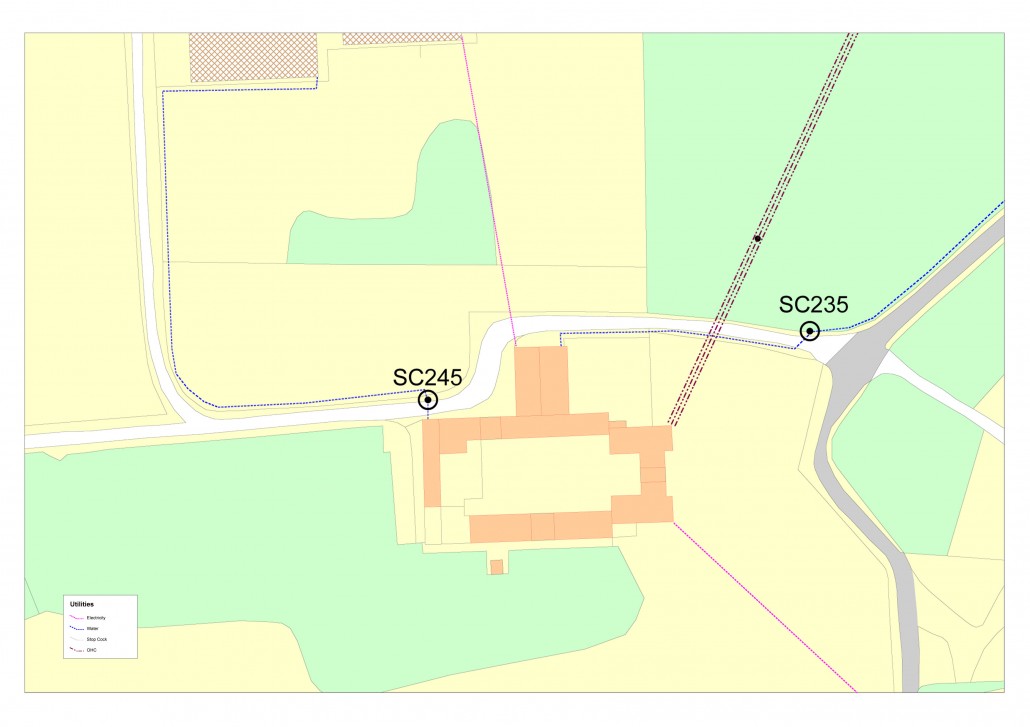
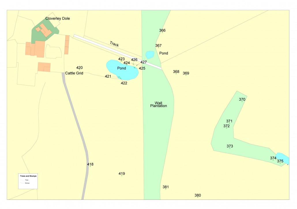
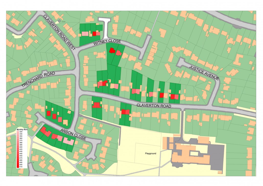
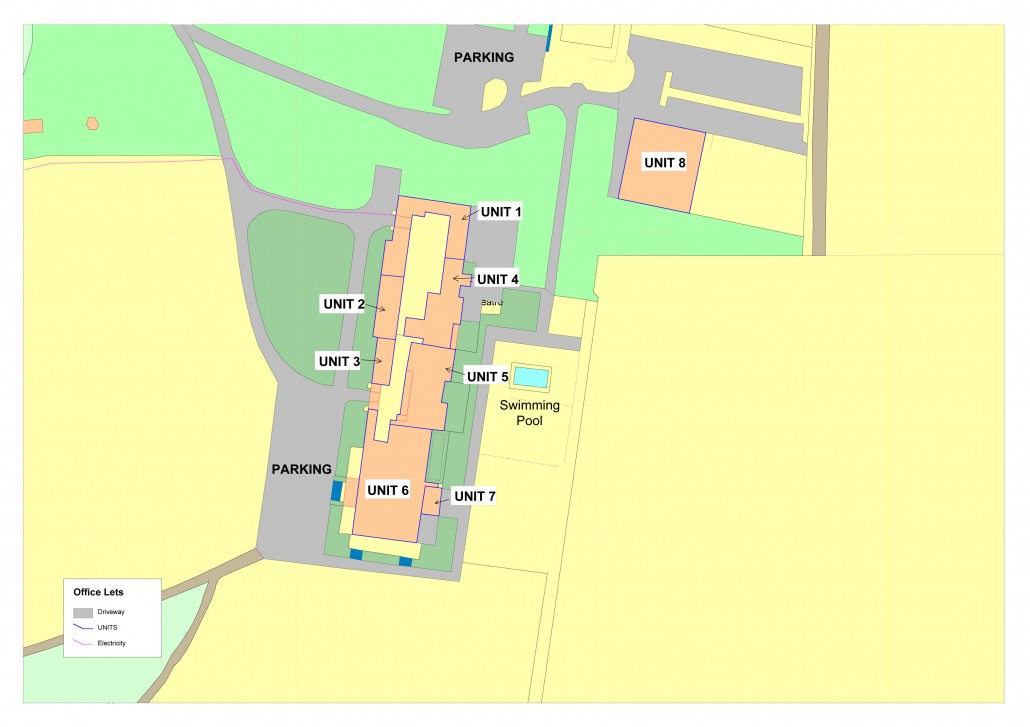
Our PT-Mapper software allows you to centralise information on tenancies, ownerships, properties, cropping, forestry plantings, utilities, Rights of Way, event planning, moorland management, environmental areas, ELS/HLS schemes – in fact, all the geographically-based information you are likely to need. Each topic can be brought to the map at a click of a button, areas measured, modifications made, and prints created or emailed at any scale on any size paper. By visualizing information in a purpose-designed package, management can become more effective and plans better communicated to others.
-
Most popular related searches
Software Overview
Land management mapping software gives you the tools to manage your land with clarity.
With your own easy to use digital mapping system strategically organise and manage all of your estate management activities, simply and effectively.
Unlike free online mapping tools, our software has been specifically designed for land managers. It is easy to use, clear and offers all the functionality you need to manage your estate. It can also be used offline and through mobile devices.
Customer reviews
No reviews were found for PT-Mapper - Farm and Estate Mapping Software. Be the first to review!