Digital Forest Information Planning and Consulting
- Home
- Companies
- Digital Forest Information Planning and ...
- Applications
- 3D ForestGIS with 3D Forest Inventory ...
3D ForestGIS with 3D Forest Inventory Data and Web Maps - Agriculture - Forestry
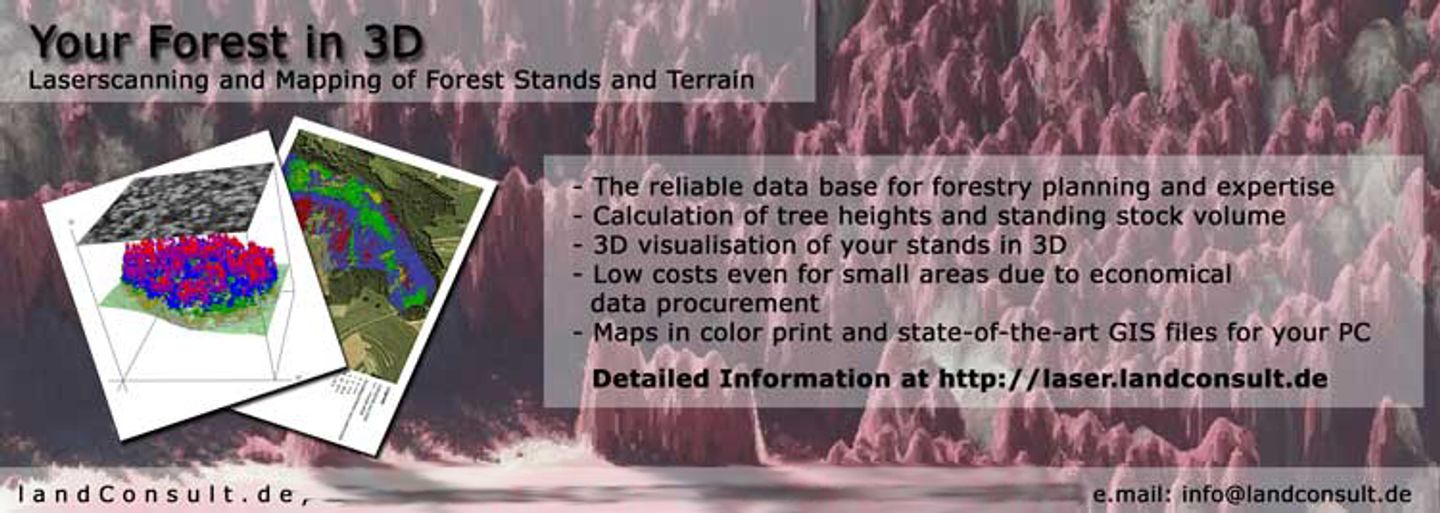
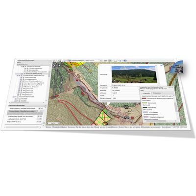
The 3D ForestGIS Application is a web based system with photogrammetrically processed 3D tree and tree models. You can use the System to precisely asess the wood volume, map the forest structure, include a variety of external geodata, query, print and share the maps with other Internet devices (PC, Laptop, Smartphone, Tablet). Test the system at http://3dgis.landconsult.de.Most popular related searches