

Aerial Imaging Technology
1 services found
Aerial Imaging Technology services
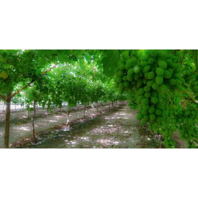
Precision Agriculture Service
Aerial imaging of crops, using multispectral sensors, gives farmers the information they need to understand and act efficiently towards changes in the health of their tree and row crops. Our aerial imaging services provide detailed information into the current and future health of your crops, to ensure maximum yield and profitability. We measure and track soil condition, fertilizing, irrigation, insecticide and fungicide applications, pest infestation monitoring, plant count, weed count, and much more!