

AgroScout software
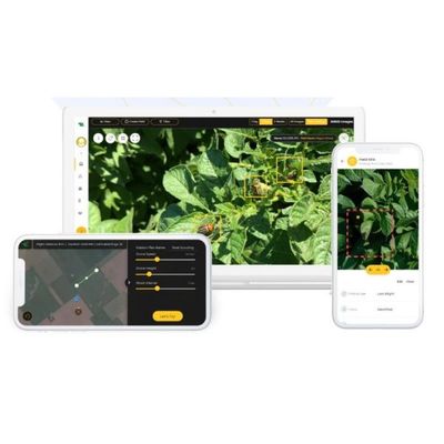
AgroScout - Crops Diagnostics for Pests and Disease
The AgroScout platform provides accurate, field-wide pest and disease monitoring down to leaf level. Our AI-driven application analyzes images from your field to identify a broad range of pests and diseases. The platform then generates actionable reports for smart treatment. Each report includes the precise GPS location of each finding so you can locate and treat the infected area in the field. Our customer success professional agronomist also reviews the report and verifies the application’s findings. AgroScout provides the best early and accurate detection for pests and disease. Smart and effective crop protection lets you sleep better at night.
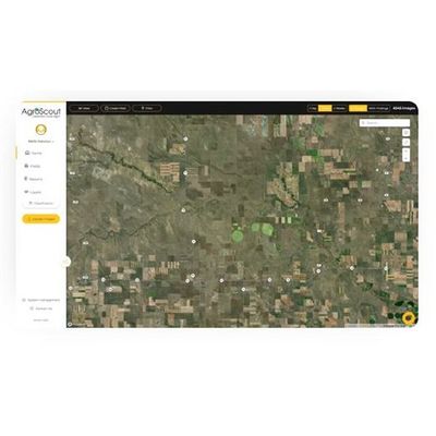
AgroScout - Stand Count Analysis Software
AgroScout’s stand count service calculates and presents an accurate stand count evaluation at plant emergence. Stand count removes the need for manual, time-consuming, traditional stand counts with a completely automate AI algorithm. Once the image is ready, our stand count application scans all the sprouting plants, calculates the emerging seeds, and presents an accurate report for the entire field. With early estimates you can make the best out of the full growing season.
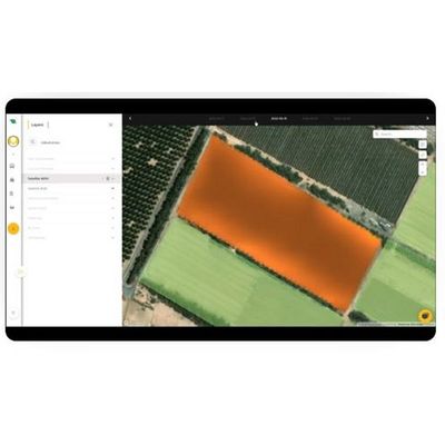
AgroScout - Model NDVI - Normalized Difference Vegetation Index Software
NDVI (normalized difference vegetation index) is an image that can be taken by drone or satellite as part of today’s precision agriculture tools. NDVI data provides a measurement of crop health. AgroScout offers the highest resolution of NDVI imagery that is available on the market. NDVI is an essential tool to monitor the health of the field and to detect stress, pests, and lesions early to prevent irreparable damage before it happens.
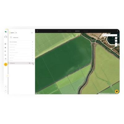
AgroScout - Orthomosiac Photos Function Software
Get a complete overview of your field with AgroScout’s Orthomosaic photos function with a resolution of 1 cm/pixel. Our platform compiles and stitches together photos from the autonomous drone missions to give you the full picture of what’s happening in your field. With the Walk-to-the-Plant mobile feature, use the geo-tagged photos to find a specific plant out in the field, even when you are offline.
AgroScout - Carbon Insetting Software
Carbon insetting is an investment by your company in techniques and methods for reducing carbon dioxide and other greenhouse gasses directly in your operation and across the supply chain.