

Bluesky International Ltd.
1 software found
Bluesky International Ltd. software
Colour Infrared Photography (CIR) Software
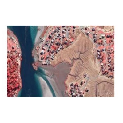
As concerns for the environment grow, colour infrared photography (CIR) offers a unique tool to assist with the assessment of the health and state of vegetation. It also helps to identify areas of healthy vegetation from non-vegetated areas. The near infrared data is captured at the same time as the standard colour (RGB) aerial photography. The combination of the four bands can be used during specialist image processing techniques such as NDVI (Normalised Difference Vegetation Index. Used in conjunction with other geo-spatial data it can assist in the making of informed decisions.