

Botlink
1 software found
Botlink software
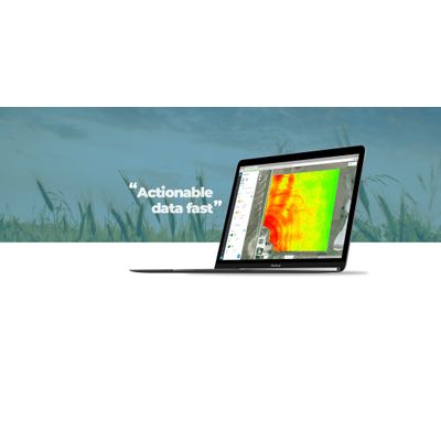
Automated Drone Software for Agriculture
The days of scouting crop health manually is a thing of the past. Botlink’s aerial surveys deliver valuable data quickly and autonomously. Create detailed maps of your field and take action immediately. High-Definition Maps: Effortlessly photo stitch aerial images into a single, high-definition map to view your entire field. Vegetation Index: Use near-infrared photography to survey and analyze crop health at each point in your field. Terrain Models: Create stunning Digital Surface and 3D models to identify high and low points or drainage issues.