

Pear Technology Services Ltd. software
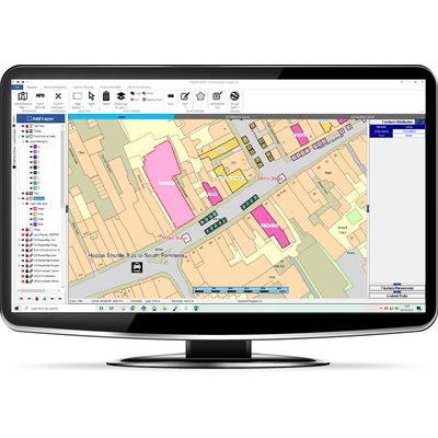
PearGIS - Desktop Based GIS Package
PearGIS is a powerful desktop based GIS package that offers simple mapping functionality with database driven decisions.
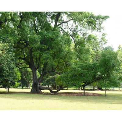
TreeMinder - Tree Management Software
We supply a complete range of Tree Management software and survey equipment designed primarily for the arboriculturalist, contractor or land manager seeking to meet Duty of Care responsibilities. Our hand-held, GPS-based equipment enables fast and efficient tree survey data capture both for general surveys and to meet the latest BS5837 or equivalent requirements. Huge productivity gains are achieved back in the office when the survey results can be plotted onto a map (using PT-Mapper) and management reports produced within minutes (using TreeMinder). Effective training and excellent post-sales support mean you quickly achieve pay back on your investment.