

Pix4D SA software
Mapping and 3D Modeling
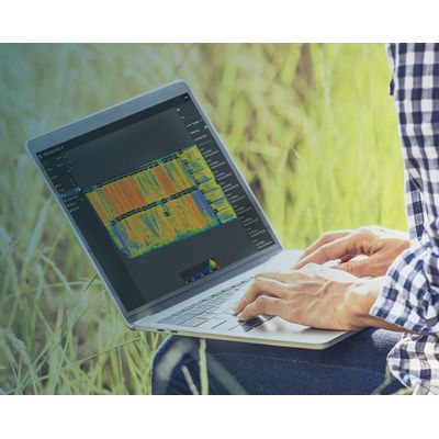
Model PIX4Dfields - Advanced Agriculture Mapping Software
Remote sensing: Collect images using a drone and any standard RGB or select multispectral cameras. You can also use Satellite Data Import to enhance your mapping experience with Sentinel-2 satellite data. Process: Process imagery with the instant processing engine and get your maps directly in the field: 6.8 GB, 2948 images, 10 min (with the new radiometry module). Scout: Generate precise orthomosaics, digital surface models, index maps, zones and accurate prescription maps. Trim your fields to a desired field boundary to create more targeted outputs. Analyze: Visualize and understand your crop growth stages and stress levels. Analyze and compare different layers of information for a full insight of your yield performance and use them to increase crop production and reduce costs. Share: Share your maps with all project stakeholders for seamless collaboration using PIX4Dfields' PDF report tool or using the share to PIX4Dcloud feature. Integrate: Download all outputs, results and insights and import them into the Farming Management Software of your choice in various industry standard formats.