- Home
- Companies
- Digital Forest Information Planning and ...
- News
- Terrestrial Laser Scanning to measure ...
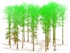
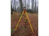
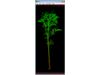
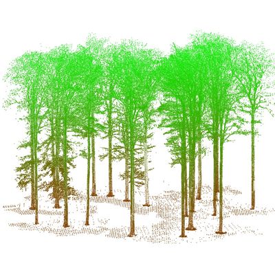
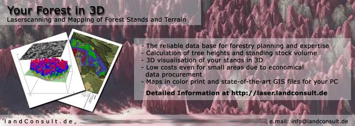
Terrestrial Laser Scanning to measure forest parameters
In November landConsult completed the second service contract with a national forest adminisitration in eastern Germany.
Using a FARO Focus 3D Scanner and a Stonex GNSS more than 5 heactares with thousands of broadleaf trees and conifers have been scanned. All scanned forests are part of a permanent monitoring system to research tree quality and ecological parameters.
The 3D modells are stored in the common LAS file format and can easily be viewed and analysed with open source software, such as the Fugro Viewer or FUSION. For a semi automated point cloud analysis, landConsult has programmed its own software tool called AtLAS.
The registration and georeferencing of the scans have been made with the FaroScene software.
Other TLS projects are already planned.