

- Home
- Companies
- SunNav Technology Co.,Ltd.
- Products
- SunNav - Model AG2000 - Android GNSS ...
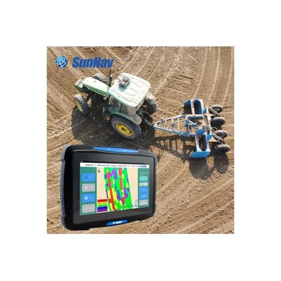
SunNav - Model AG2000 -Android GNSS Land Leveling System
The AG2000 system is a high-precision and high-performance GNSS Land Leveling system, independently developed by SunNav. Widely used in precision agriculture for wasteland restoration, land remediation and leveling, slope land conversion, paddy field leveling, dry land leveling and other large areas land leveling. It can also be used for water conservancy, airport construction and large-scale stadium construction.
It could be widely used for precision agriculture field : waste land reclamation, land leveling, slopping land to terrace, water land leveling , as well as large area hydraulic engineering , air portcon struction and sports ground construction.
PRECISION AGRICULTURE
- waste land reclamation, land leveling, slopping land to terrace, water land leveling
HYDRAULIC ENGINEERING
- It can be used for dam construction, river leveling, slope control.
AIR PORTCON STRUCTION
- It can be used to build airfields and airstrips to level the foundation.
SPORTS GROUND CONSTRUCTION
- It can be used for foundation leveling of football and sports fields.