

- Home
- Companies
- Katam Technologies AB
- Software
- Katam TreeMap - Capture Images with a ...
Katam TreeMap - Capture Images with a Drone
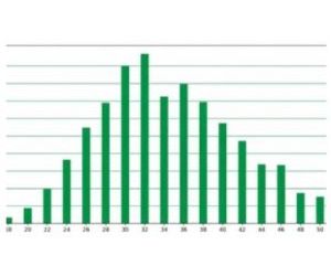
By capturing images with a drone, you can create an analysis of the entire stand while still working in the field. The KATAM TreeMap solution shows variations wthin a forest stand with distribution of tree density and height over all parts of the stand.
Katam TreeMap shows the variations within a forest stand with distribution of tree density and height over all parts of the stand. The information provides a valuable basis for decision-making that enables optimal withdrawal as well as increased volume and yield in the long run.

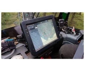
The video shows how easy it is to scan a stand with a drone and get high-precision data directly to the thinning machine.
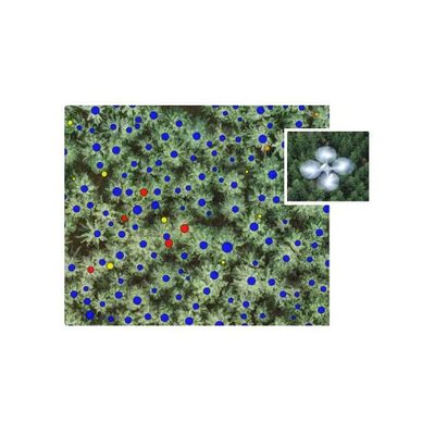
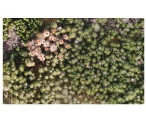
Species and height is registered for each single tree. Also health status can be detected, e.g. dead trees due to spruce bark beetle attack (see picture). Trees that should saved for natural conservation reasons can be identified.
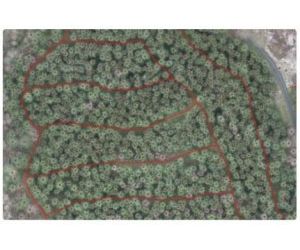
The system identifies existing network of previous thinning paths. Can be combined with topographic map and soil moisture map.
Get feedback on the ongoing thinning work directly in the field. Within a few hours after the drone recordings have been uploaded, KATAM TreeMap will deliver an analysis of the entire stand. The report can be directly exported to different types of forestry systems.
Get volume information for each single tree by matching drone measurements from air with smartphone measurements from ground, using the Katam smartphone app. Provides a complete high-resolution stem inventory.
This video shows a stand before and after thinning. The red dots are trees that have been removed.