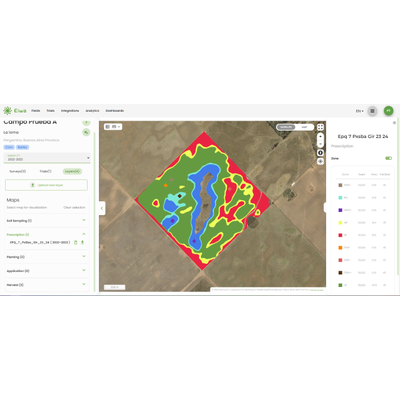
Through the GIS viewer, you can ingest, combine, and manage all types of geospatial layers, such as soil layers, agricultural activity layers like planting, application, harvest monitors, and drone flights.