- Home
- Software
- north korea
- crop mapping
Show results for
Refine by
Crop Mapping Software Available In North Korea
6 software items found
by:AgroMonitoring based inLondon, UNITED KINGDOM
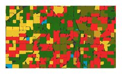
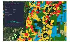
Based on large amount of processing satellite and climate data, we provide analytical reports and detailed datasets for crop monitoring: Crop map (soy, corn, wheat, etc.). Recognised field boundaries. Vegetation indices statistics by each recognised field. Climate data for regions and particular ...
by:Shivrai Technologies Pvt. Ltd. based inPune, INDIA
Farm profile module helps in mapping the crop and land infrastructure of your farms. It helps you to maintain details of farm land, number of sites, plots, packhouses, and cold storages, along with geo coordinates. Tree encoding can also be done in case of horticulture ...
by:AgroMonitoring based inLondon, UNITED KINGDOM
We can customise our analytical reports for your needs. Reports include overviews of the conditions of the observed crops, distribution on the map of the type of crops and their condition, vegetation statistics, etc. Data can be stratified and aggregated by any criterion, for instance, by crops, by regions, by ...
by:Map My Crop based inNew York, NEW YORK (USA)
Integrate Map My Crop API and start benefit from advanced geospatial analytics right away and save millions of dollars on in-house enterprise solution development. ...
Manufactured by:A.U.G. Signals Ltd. based inToronto, ONTARIO (CANADA)
It is critical for the agricultural industries to accurately and timely identify different stages of crops and vegetations. This can help to investigate different situations such as fungal infections and take the right actions. Vegetation growth features can assist in determining famine severity, drought conditions, and impacts on yields; in a result, the authority is able to anticipate food ...
by:Atfarm based in, UNITED KINGDOM
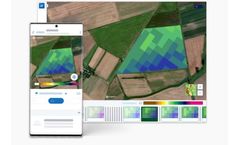
Biomass Comparison allows you to see how the variability of your field has changed from week to week, month to month, or even year to ...

