Refine by
Agromonitoring Ndvi Imaging Software
1 software items found
by:AgroMonitoring based inLondon, UNITED KINGDOM
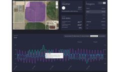
Dashboard is a visual service that helps you to monitor your field states over the year. The service allows to operate with satellite imagery and weather data along with advanced machine learning technologies. Just draw your polygon on the map and immediately get satellite imagery, NDVI, EVI, NRI, DSWI, NDWI vegetation indices statistics, Hourly and Daily weather forecasts, Historical weather ...

