
Anteo
Most popular related searches
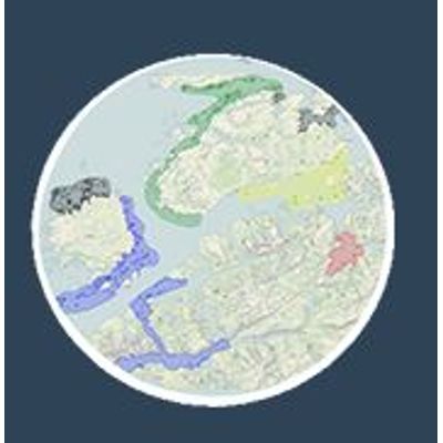
- Live view of vessels in a map.
- Aqua culture resources positioned in a map.
- Sensor data from sites and vessels shown graphically in same tool. (3. party solution allows for many different sensors and combinations through API`s)
- Automatical alerts on actions and critical values important for production and biosecurity.
- Live view of disease status for sites
- Public PD and ISA critical zones
- Public data such as lice counts and weather reports from nearby locations