

- Home
- Companies
- Kheti Buddy
- Software
- Precision Farming with GIS Technology

Precision Farming with GIS Technology
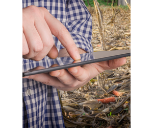
Rethink remote sensing by sensitizing it for agricultural practices. Are you looking for a way to make better, more informed decisions on the farm? Introduce GIS to your precision farming process – a technology that can help you visualize data and analyze spatial information for improving and optimizing farming processes. With GIS, you can monitor the health of individual crops, estimate yields, and adapt to different variables. So if you`re looking for a tool that can help you make smarter choices, GIS is the answer.
The real power of GIS, though, lies in its ability to build algorithms based on these datasets for identifying its impact on farms and taking suitable recourse of farming activities. KhetiBuddy’s GIS has focused developing of a farming-oriented, several layered spatial data, for analysis with variables such as crop based indices, soil based indices, soil type, wind direction, rainfall amount, slope, site suitability, and risk prevention from drought, erosion, and flood. GIS can help a farmer adapt to these different variables, monitor the health of individual crops, estimate yields from a given field, and maximize crop production.
Yield focused algorithms
- Crop health status
- Crop yield estimation
- Crop sown area estimation
- Crop growth indicators
- Soil moisture status
- Moisture stress levels
- Mapping water sources
- Identifying crop-based water requirement
- Determining crop health status
- Identifying crop disease infected areas
- Tracking crop growth benchmarks
- Assessing impact of weather change
- Crop yield estimation
- Crop sown area estimation