

GeoLogic Computer Systems (GCS) software
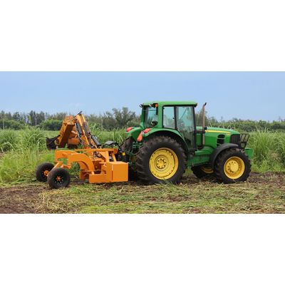
GCS:Pipe - Agricultural Drain Tiling Software
GCS:Pipe is designed for agricultural drain tiling using GeoLogic’s DAO (Depth At Optimum) technology to install drain tile using high accuracy RTK/GPS. DAO technology allows the user to control how a tile is installed, how closely it can follow the existing ground to obtain ideal depth. Ideal depth and spacing is the key to “ideal” drainage.
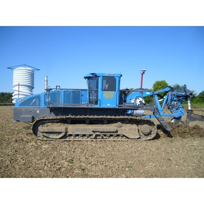
GCS:Ditch - Agricultural Surface Drainage Software
Farmers need to address surface drainage to eliminate drowned out patches in fields and optimize yield. GCS:Ditch is designed for agricultural surface drainage. Using Geologic’s DAO (Depth At Optimum) technology, GCS:Ditch helps build surface drains and ditches, displaying real time definition of optimum grade and depth based on existing ground. The operator enters a minimum grade and a max digging depth and DAO does the rest! GCS: Ditch works well with today’s high speed ditchers, pull type graders, or dirt pans.
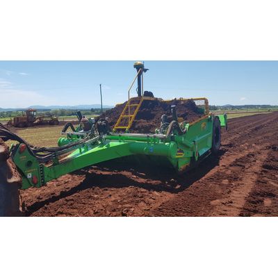
GCS:Level - Premier Point-and-Shoot Option for Land Leveling
GCS:Level is the premier point-and-shoot option for land leveling. GCS: Level was designed to be a simple alternative to a laser, using RTK GNSS. GCS:Level II integrates with OptiSurface InCab or GradePlane software for simple single plane best-fit designs. GCS:Level II supports two channel outputs (elevation and cross slope). GCS:Level uses that same controller as GCS:Dirt, so it to offers a direct connect benefit with today’s tractors.