

GeoLogic Computer Systems (GCS)
- Home
- Companies
- GeoLogic Computer Systems (GCS)
- Software
- GCS:Level - Premier Point-and-Shoot ...
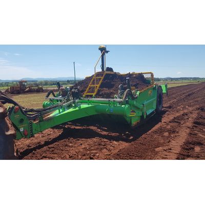
GCS:Level - Premier Point-and-Shoot Option for Land Leveling
GCS:Level is the premier point-and-shoot option for land leveling. GCS: Level was designed to be a simple alternative to a laser, using RTK GNSS. GCS:Level II integrates with OptiSurface InCab or GradePlane software for simple single plane best-fit designs. GCS:Level II supports two channel outputs (elevation and cross slope). GCS:Level uses that same controller as GCS:Dirt, so it to offers a direct connect benefit with today’s tractors.