- Home
- Companies
- Monitoring and Testing
- Analytical Services
- Glanville Geospatial Services
Glanville Geospatial Services
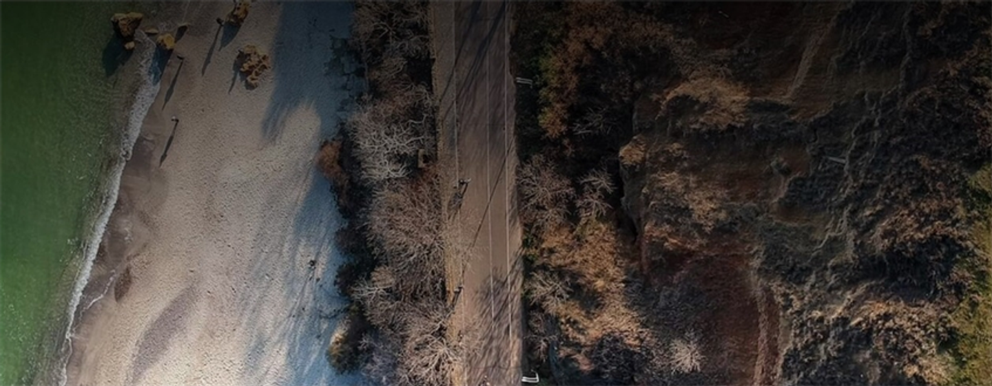
At Glanville Geospatial Services we offer a range of inspection, measuring and monitoring surveys which can be tailored to your specific project requirements. We offer bespoke survey solutions with dependable results throughout your project`s lifecycle, without the tailor-made price tag. Using the latest engineering survey equipment and a friendly team of expert surveyors, we offer a wide range of survey options, including: * Topographic Surveys * Unmanned Aerial Surveys * Utility Mapping * Laser Scanning * BIM and Modelling * 4D Monitoring Surveys * Hydrographic Surveys * Geophysical Surveys * Site Engineering / Setting Out * CCTV / Drainage Surveys * GIS Asset Mapping We provide bespoke information, to aid confident decision making, and to save time and money across the project lifecycle. Contact us today to discuss your next project.
Company details
Find locations served, office locations.
- Business Type:
- Service provider
- Industry Type:
- Analytical Services
- Market Focus:
- Nationally (across the country)
- Agriculture - Forestry
- Agriculture - Irrigation
- Agriculture - Landscaping
- Chemical & Pharmaceuticals
- Commercial
- Communications / Telecom / Datacom
- Construction & Construction Materials - Demolition and Remediation
- Construction & Construction Materials - Geotechnical
- Construction & Construction Materials - Stormwater
- Energy - Renewable Energy
- Environmental
- Environmental - Ecology and Nature Protection
- Environmental - Emergency Response
- Environmental - Environmental Management
- Environmental - Environmental Monitoring
- Environmental - Environmental Planning
- Environmental - Environmental Regulations and Compliance
- Environmental - Environmental Science and Research
- Environmental - Landscaping
- Environmental - Site Remediation
- Environmental - Water Resources
- Forestry & Wood
- Government
- Government - Environmental Protection Agencies
- Government - Municipalities
- Health and Safety - Health and Safety Consulting and Engineering
- Mining
- Monitoring and Testing - Analytical Services
- Monitoring and Testing - Environmental Monitoring
- Monitoring and Testing - Leak Detection
- Monitoring and Testing - Soil and Groundwater Monitoring
- Monitoring and Testing - Waste Monitoring and Testing
- Oil, Gas & Refineries
- Real Estate
- Soil and Groundwater
- University / Academia / Research
- Waste and Recycling
- Waste and Recycling - Landfill
- Waste and Recycling - Municipal Waste
- Waste and Recycling - Sewer Cleaning
- Waste and Recycling - Sludge Management
- Waste and Recycling - Waste Monitoring and Testing
- Water and Wastewater
- Water and Wastewater - Water Consulting and Engineering
- Water and Wastewater - Water Resources
- Water and Wastewater - Water Storage
- Water and Wastewater - Water Utilities