1 products found
Lidar America Inc. products
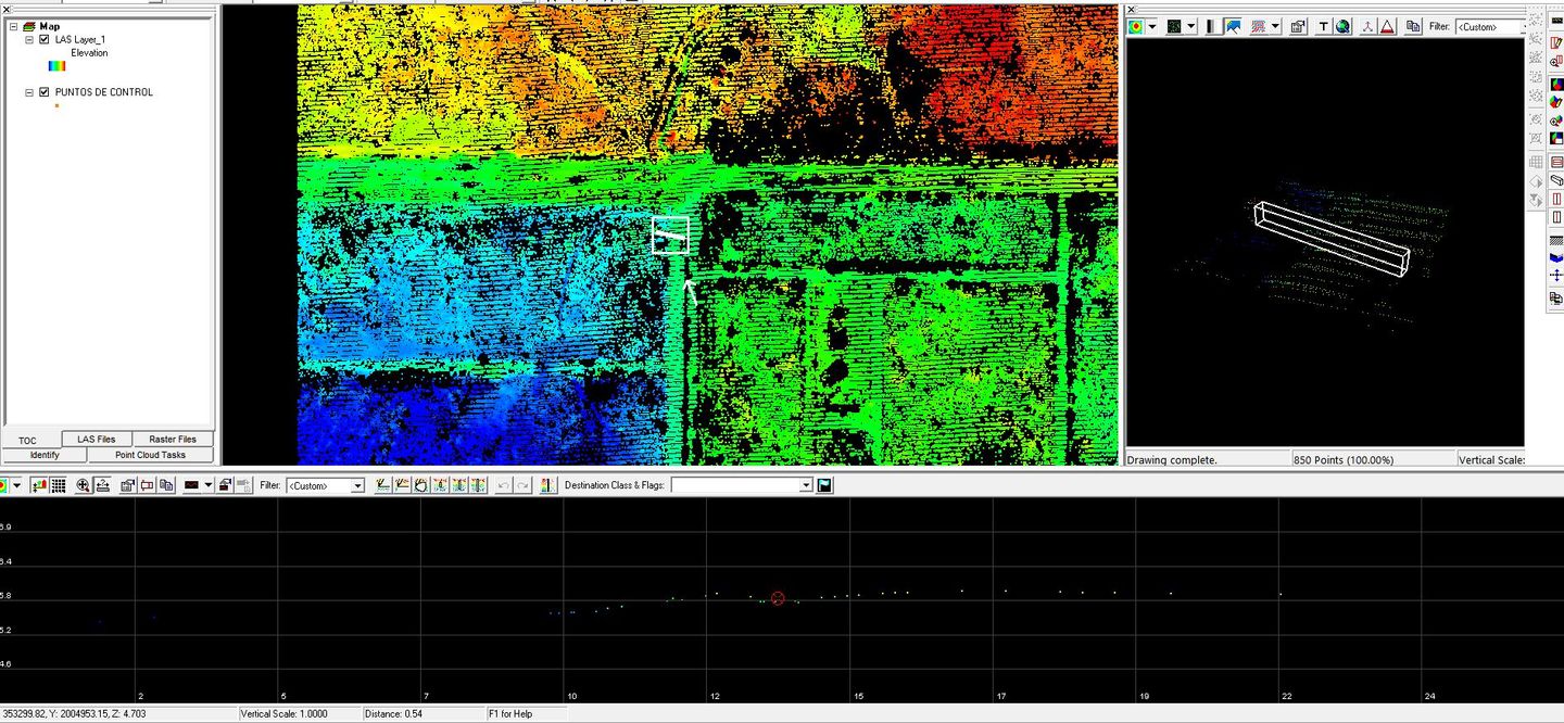
Planimetrics
Usually consists of the identification and geolocation of basic land cover ( forest, marsh), drainage, and anthropogenic features (urban infrastructure, transportation networks) in the x, y plane.