Browse all
Channels
Products
Companies
Products
Services
Software
Training
Applications
Sign in
List your business
Advertising options
Lidar America Inc.
About
Solutions
Home
Companies
Lidar America Inc.
Products
Planimetrics
Planimetrics
From
Lidar America Inc.
SHARE
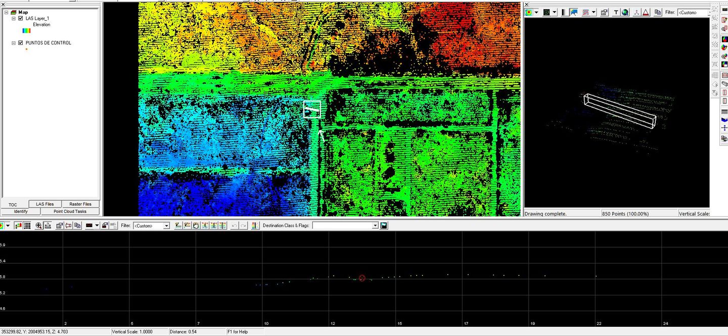
Usually consists of the identification and geolocation of basic land cover ( forest, marsh), drainage, and anthropogenic features (urban infrastructure, transportation networks) in the x, y plane.
Most popular related searches
forest cover
forester
forestland