

Rezatec
1 software found
Rezatec software
Forestry - Forest Management
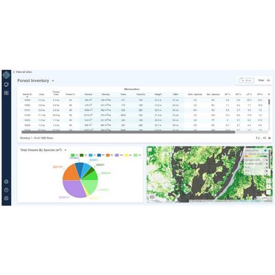
Rezatec - Geospatial AI for forest inventory
Zero in on the value: Our forest inventory product uses geospatial AI to remotely analyse inventory across your entire forest. To individual tree level. Without the need for aerial surveys. It provides detailed, continuous data on height, count, volume and species distribution as it changes over time. Use this frequently refreshed information to cost-effectively determine harvesting potential, forecast supply, assess stock values and optimise operational work. And gain advantage when competing for harvest rights.