

TerraSphere Imaging & GIS B.V.
- Home
- Companies
- TerraSphere Imaging & GIS B.V.
- Services
- Crop Insurance Support
Crop Insurance Support
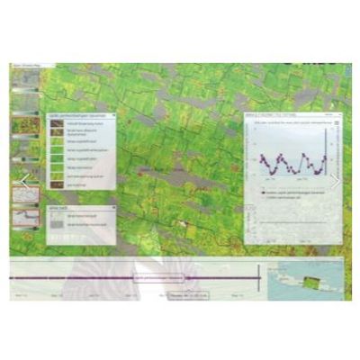
Satellite data is used for automated claim checking and risk assessment for crop insurance in Indonesia, through a platform build for Indonesian insurance company Jasindo. We analyse crop growth, detect anomalies and assess damages resulting from floods, drought and diseases. Cost savings on field checks are achieved with 1 million smallholder farmers insured. TerraSphere also partnered with HARA to integrate satellite data analytics in their App serving smallholder farmers in Indonesia.