Show results for
Refine by
Locations
- Europe
- Albania
- Andorra
- Austria
- Belarus
- Belgium
- Bosnia & Herzegovina
- Bulgaria
- Croatia
- Cyprus
- Czech Republic
- Denmark
- Estonia
- Faroe Islands
- Finland
- France
- Germany
- Greece
- Hungary
- Iceland
- Ireland
- Italy
- Kosovo
- Latvia
- Liechtenstein
- Lithuania
- Luxembourg
- Macedonia
- Malta
- Moldova
- Monaco
- Montenegro
- Netherlands
- Northern Ireland
- Norway
- Poland
- Portugal
- Romania
- San Marino
- Serbia
- Slovakia
- Slovenia
- Spain
- Sweden
- Switzerland
- Turkey
- Ukraine
- United Kingdom
- Vatican City
Crop Monitoring Data Software Available In In Europe
4 software items found
by:Leaf Agriculture based inLos Angeles, CALIFORNIA (USA)
Easy access to customer-ready images; Businesses that create API connections with imagery providers have to maintain all these APIs, and process the different data formats on their own server into imagery files that are usable. Businesses that use Leaf’s unified API are able to access processed and standardized crop monitoring ...
by:Croptracker- a brand by Dragonfly IT, Inc based inKingston, ONTARIO (CANADA)
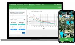
Using only a mobile iOS device, Crop Load Vision (CLV) captures fruit count and size in real time to assist growers in faster and more accurate crop load assessments. Accelerate crop load assessments with mobile data ...
by:Croptracker- a brand by Dragonfly IT, Inc based inKingston, ONTARIO (CANADA)
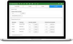
Croptracker is the leading orchard management software system for growers of fruit and nuts. Croptracker's orchard management software helps growers and packers around the world to maintain accurate records, improve traceability, and manage labor and production costs. Since 2006, Croptracker has been designed with the help of growers and orchard managers to enhance orchard productivity and ...
by:Alteia based inLabège, FRANCE
Alteia provides a robust plant phenotyping solution known as Field Trial Analysis, which supports digital transformation in agricultural research and development. This platform leverages visual data from drones, satellites, and cameras to boost the efficiency of crop assessment procedures while minimizing the potential for human error. It includes features like automated data pipelines that ...


