Refine by
Terrain Modeling Software
4 software items found
by:Map Maker Limited based inArgyll, UNITED KINGDOM
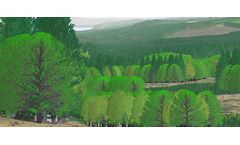
Prospecthelps woodland designers to rapidly produce 3D visualisations of woodland proposals.Prospectgenerates 3D images both as visualizations of digital terrain models and as ...
by:SoftWright LLC based inCharlottesville, VIRGINIA (USA)
The Longley Rice (aka Irregular Terrain Model) Propagation module is the most flexible and popular TAP™ propagation module. It is valid for a wide frequency range from approximately 30 MHz to 30 GHz. The Longley-Rice model is an implementation of many of the equations presented in the NTIA Tech Note 101. ...
by:Botlink based inFargo, NORTH DAKOTA (USA)
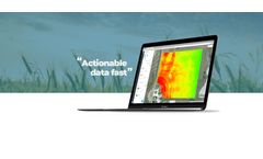
High-Definition Maps: Effortlessly photo stitch aerial images into a single, high-definition map to view your entire field. Vegetation Index: Use near-infrared photography to survey and analyze crop health at each point in your field. Terrain Models: Create stunning Digital Surface and 3D models to identify high and low points or drainage issues. ...
by:ACCA Software based inBAGNOLI IRPINO (AV), ITALY
Edificius is the simple and complete BIM software, easy to use and learn for all in one architectural design! Edificius BIM modelling is the best way to integrate architecture, interior design, public spaces design, MEP systems modelling and all other areas of building ...


