

AgroScout
AgroScout - Version NDVI -Normalized Difference Vegetation Index Software
FromAgroScout
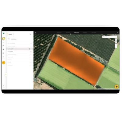
NDVI (normalized difference vegetation index) is an image that can be taken by drone or satellite as part of today’s precision agriculture tools. NDVI data provides a measurement of crop health. AgroScout offers the highest resolution of NDVI imagery that is available on the market. NDVI is an essential tool to monitor the health of the field and to detect stress, pests, and lesions early to prevent irreparable damage before it happens.
Most popular related searches
normalized difference vegetation index
vegetation index
precision agriculture system
NDVI imaging
crop health
precision agriculture
NDVI
NDVI vegetation index
precision agriculture data
NDVI vegetation
NDVI allows growers to map and implement variable rate applications of fertilizer and water to targeted areas in the field improving sustainability and the bottom line.