

AgroScout
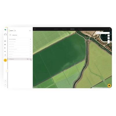
AgroScout - Orthomosiac Photos Function Software
FromAgroScout
Get a complete overview of your field with AgroScout’s Orthomosaic photos function with a resolution of 1 cm/pixel. Our platform compiles and stitches together photos from the autonomous drone missions to give you the full picture of what’s happening in your field. With the Walk-to-the-Plant mobile feature, use the geo-tagged photos to find a specific plant out in the field, even when you are offline.
Most popular related searches
Observe trends and patterns across your entire field to catch blight and other fast-spreading disease, pinpoint plant stress from pests or drought, and assess weather damage. Then zoom in to get a closer look at trouble indicators on an individual plant at the leaf level.