soil-mapping Downloads
5 downloads found
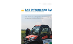
Soil Information System™ (SIS) solution is an industry leading soil map solution that uses advanced sensors and intelligent targeting and geo-processing algorithms to produce high resolution, accurate soil and topographic information. By providing a greater understanding of the physical and chemical characterization of the ...
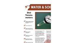
Traditional design tensiometer with dial gauge readout of soil suction. Low cost, simple to use. Direct readout without the need for an electronic meter. Ideal for irrigation management. Suitable for soil, peat and other mediums. No correction factors for different soils or mediums. ...
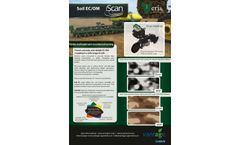
The Veris iScan makes soil scanning more accessible than ever since farmers themselves can now scan in combination with another operation. The iScan helps to obtain accurate and reliable soil maps of plots, to better attune the fertilization and seeding density to the variation within a plot. ...
Crops (LIVO) with a custom data. acquisition system for use in mapping soil. conditions in agricultural fields. The. measurement system has been developed. as part of the institute's research aimed at. establishing a scientific basis for efficient. horticulture methods in sustainable. ...
The Septum tensiometer permits several tensiometers to be read out using only one instrument and there fore offers a favourably priced alternative to the comprehensive determination of soil moisture tension with many measurement points. The topside of the tensiometer is sealed with a silicone septum so that the hand meter can be attached quickly and simply with a needle. The septum recloses ...

