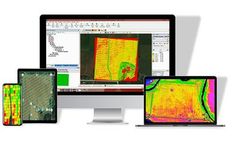
Ageagle Ndvi Software Near Eritrea
1 software items found
Manufactured by:AgEagle Aerial Systems based inNeodesha, KANSAS (USA)
The electric-powered motor is capable of 45 to 50 minutes of flight covering 200 - 300 acres per flight depending upon winds. The RX48 captures aerial NIR /NDVI aerial maps and is an ideal solution for day-to-day image acquisition for precision agriculture growers and agronomists. If you need to map more than 300 acres - no problem! Simply land, swap batteries and continue ...

