Refine by
Ndvi Software In North America
19 software items found
by:Regent Instruments Inc. based in, QUEBEC (CANADA)
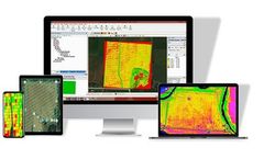
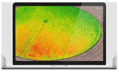
WinCAM NDVI is an image analysis system which can do various types of measurements, most of them color or NDVI related (CAM = Color Area Meter). For various objects or scenes it can quantify color clusters of interest, measure objects morphology and classify objects based on color content, quantify color uniformity or aggregation, do profilometry analyses (color ...
by:Regent Instruments Inc. based in, QUEBEC (CANADA)
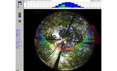
WinSCANOPYis a digital image analyser for canopy and solar radiations analysis which measures leaf area index (LAI), gap fraction, canopy openness, site factors, NDVI and much more. It works from hemispherical images taken by a digital camera and a fisheye lens or from cover images with a narrower view angle. It is available as software alone or complete system offered in ...
Manufactured by:AgEagle Aerial Systems based inNeodesha, KANSAS (USA)
The electric-powered motor is capable of 45 to 50 minutes of flight covering 200 - 300 acres per flight depending upon winds. The RX48 captures aerial NIR /NDVI aerial maps and is an ideal solution for day-to-day image acquisition for precision agriculture growers and agronomists. If you need to map more than 300 acres - no problem! Simply land, swap batteries and continue ...
by:Deep Planet based inOxford, UNITED KINGDOM
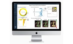
Sustainable farming with precision viticulture. VineSignal can reduce variability and disease by tracking daily, weekly and monthly changes in vegetation (NDVI). Our unique two week prediction delivers an accuracy of 93% to see the future impact of irrigation and fertiliser application on your ...
by:Leaf Agriculture based inLos Angeles, CALIFORNIA (USA)
Developers simply register a field boundary with a backfill date and imagery provider, then Leaf returns cropped, color corrected RGB, NDRE, and NDVI images every time an image is ...
by:I-Plant Nutrition (former Smart Fertilizer Software) based inLondon, UNITED KINGDOM
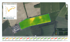
The platform is data-driven, minimizing risks and increasing efficiency through a proprietary algorithm refined over a decade of research. It features NDVI satellite imagery for real-time crop monitoring, visual representation of lab tests, and fertigation recommendations. Even those with minimal agronomic knowledge can develop effective fertilization strategies, as the software ...
by:Intelinair based inIndianapolis, INDIANA (USA)
Detect pest and disease pressure to guide fungicide applications and protect ...
by:Farmlogs - Bushel Inc based inAnn Arbor, MICHIGAN (USA)
FarmLogs Essentials is available to growers managing up to 10,000 acres and includes unlimited user seats on an account, email support, and access to detailed support articles and ...
Manufactured by:Fruition Sciences based inVerchant, FRANCE
360 viti: the online platform to view and store all of your vineyard information. Manage your vineyard with plant, fruit, and envrionmental data. Vineyard data can be sourced from several tools by several providers. 360viti has been designed to centralize and analyze all these different data types. ...
by:Farmlogs - Bushel Inc based inAnn Arbor, MICHIGAN (USA)
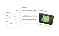
Add Activities, Work Orders, Satellite Imagery, Marketing, Reports, or Rain & Heat History to any ...
by:DTN based inBurnsville, MINNESOTA (USA)
Proactively identify and solve potential problems before they become costly issues. Insects, diseases, and weather challenges can cost you significantly in crop yield and overall profit. With Specialty Agronomic Insights from DTN, you will be able to protect your crops and investment with proactive information and ...
by:Botlink based inFargo, NORTH DAKOTA (USA)
The days of scouting crop health manually is a thing of the past. Botlink’s aerial surveys deliver valuable data quickly and autonomously. Create detailed maps of your field and take action immediately. High-Definition Maps: Effortlessly photo stitch aerial images into a single, high-definition map to view your entire field. Vegetation Index: Use near-infrared photography to survey ...
Manufactured by:Agribotix LLC based inBoulder, COLORADO (USA)
Agribotix Delivers Value To Farmers By Reducing Crop Inputs, Improving Yields, And Maximizing ...
Manufactured by:CropX inc. Europe based inEmmen, NETHERLANDS
Cloudfarm makes viewing and applying field data as easy as possible. It only takes 5 minutes to create a prescription map. Start with the basics of precision farming and develop in stages to further automate your ...
by:DTN based inBurnsville, MINNESOTA (USA)
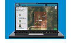
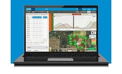
Know what’s in your soil and threatening your crops. Agronomic Insights from DTN is comprehensive agronomic software that integrates multiple facets of precision ag technology into a single, easy-to-use interface. Detailed data insights put you in charge of the decision-making and give you the information and trends you need to take action. Have tools at your fingertips to support scouting, ...
by:ExactFarming based inMountain View, CALIFORNIA (USA)
ExactFarming is a platform allowing its participants to effectively manage agricultural business, make timely decisions and reduce ...
Manufactured by:Hiphen based inAvignon, FRANCE
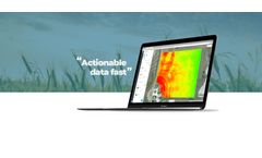
SlantView is the analytics toolset that transforms raw data from airborne sensors into valuable information for farmers. For information to be valuable, it must be both actionable and available when and where it’s ...
by:Agremo Ltd. based inBelgrade, SERBIA
Subscribe to Crop Monitoring or R&D Micro-Plots Monitoring product and discover precision agriculture ...

