Show results for
Refine by
Vegetation Index Software In Europe
17 software items found
by:Agremo Ltd. based inBelgrade, SERBIA
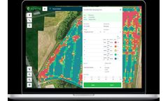
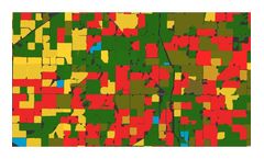
Subscribe to Crop Monitoring or R&D Micro-Plots Monitoring product and discover precision agriculture ...
by:Bluesky International Ltd. based inAshby-De-La-Zouch, UNITED KINGDOM
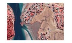
As concerns for the environment grow, colour infrared photography (CIR) offers a unique tool to assist with the assessment of the health and state of vegetation. It also helps to identify areas of healthy vegetation from non-vegetated areas. The near infrared data is captured at the same time as the standard colour (RGB) aerial photography. The ...
by:AgroMonitoring based inLondon, UNITED KINGDOM
Through our simple and fast API, you can easily implement multi-spectrum satellite imagery, vegetation indices and weather data of the crop for the most recent day or for a day in the past to your ...
by:AgroMonitoring based inLondon, UNITED KINGDOM
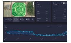
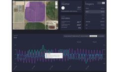
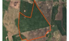
Dashboard is a visual service that helps you to monitor your field states over the year. The service allows to operate with satellite imagery and weather data along with advanced machine learning technologies. Just draw your polygon on the map and immediately get satellite imagery, NDVI, EVI, NRI, DSWI, NDWI vegetation indices statistics, Hourly and Daily weather forecasts, Historical weather ...
by:AgroMonitoring based inLondon, UNITED KINGDOM
Based on large amount of processing satellite and climate data, we provide analytical reports and detailed datasets for crop monitoring: Crop map (soy, corn, wheat, etc.). Recognised field boundaries. Vegetation indices statistics by each recognised field. Climate data for regions and particular ...
by:SOWIT based inParis, FRANCE
Outsource the technical management of your farms; Take into account the heterogeneity of your plots and offer your team technical ...
by:Nax based inAlicante, SPAIN
Predicting maximum yields based on the development. Thanks to Nax AgEngine's optimal models, we can provide you with an estimate of the production level of each area based on the growth rate of your crops. 1º Discover areas with high development potential. 2º Work in areas that have a direct impact on your production. 3º Optimize your inputs and working hours. ...
by:QZ Solutions Sp. z o.o. based inOpole, POLAND
Invest in monitoring your customers’ crops – knowledge that pays off. RSPalert allows us to monitor changes in crop plants, determine their condition and stress using satellite ...
by:SOWIT based inParis, FRANCE
Control your irrigation with precision; Consideration of intra-plot heterogeneity thanks to satellite remote sensing and precise weather data to adjust your ...
by:GeoPard Agriculture based inCologne, GERMANY
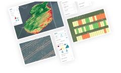
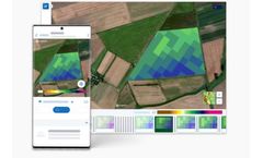
Easely monitor your crop relying on the latest satellite imagery. Compare data layers in one place without using specific ...
by:Solvi AB based inGothenburg, SWEDEN
Zonal Statistics offers tools for digitizing plot boundaries for all types of trials. Whether you use our Automatic Plot extraction or advanced editing tools, plots of any shapes and layouts can be re-created in a matter of ...
by:Atfarm based in, UNITED KINGDOM
Biomass Comparison allows you to see how the variability of your field has changed from week to week, month to month, or even year to ...
by:DunavNET based inNovi Sad, SERBIA
agroNET – holistic farm management platform for improving crop production and animal breeding thus enabling transparency and traceability across the food supply ...
by:Agricolus s.r.l. based inPerugia, ITALY
Agricolus Plus is the solution for farms that want advanced technological support for a 360-degree agronomic management. The platform can be customized according to the specific needs of each farm, in particular those with several crops which want to use forecast models and connect weather stations. ...
by:Agricolus s.r.l. based inPerugia, ITALY
GRAPEDSS is the solution for wineries that want to optimize vineyard management in a sustainable way. It is a control and forecast tool that helps to apply effective defence and management strategies for the vineyard in order to increase quality and quantity of the yield. GRAPEDSS supports the decisions of farmers and technicians by integrating data from forecast models, crop scouting, and ...
by:Alteia based inLabège, FRANCE
Alteia provides a robust plant phenotyping solution known as Field Trial Analysis, which supports digital transformation in agricultural research and development. This platform leverages visual data from drones, satellites, and cameras to boost the efficiency of crop assessment procedures while minimizing the potential for human error. It includes features like automated data pipelines that ...
Manufactured by:Hiphen based inAvignon, FRANCE
SlantView is the analytics toolset that transforms raw data from airborne sensors into valuable information for farmers. For information to be valuable, it must be both actionable and available when and where it’s ...

