- Home
- Software
- united kingdom
- vegetation index
Refine by
Vegetation Index Software In United Kingdom
5 software items found
by:Bluesky International Ltd. based inAshby-De-La-Zouch, UNITED KINGDOM
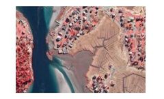
As concerns for the environment grow, colour infrared photography (CIR) offers a unique tool to assist with the assessment of the health and state of vegetation. It also helps to identify areas of healthy vegetation from non-vegetated areas. The near infrared data is captured at the same time as the standard colour (RGB) aerial photography. The ...
by:AgroMonitoring based inLondon, UNITED KINGDOM
Through our simple and fast API, you can easily implement multi-spectrum satellite imagery, vegetation indices and weather data of the crop for the most recent day or for a day in the past to your ...
by:AgroMonitoring based inLondon, UNITED KINGDOM
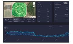
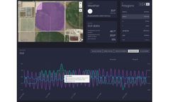
Dashboard is a visual service that helps you to monitor your field states over the year. The service allows to operate with satellite imagery and weather data along with advanced machine learning technologies. Just draw your polygon on the map and immediately get satellite imagery, NDVI, EVI, NRI, DSWI, NDWI vegetation indices statistics, Hourly and Daily weather forecasts, Historical weather ...
by:AgroMonitoring based inLondon, UNITED KINGDOM
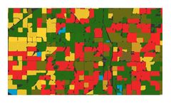
Based on large amount of processing satellite and climate data, we provide analytical reports and detailed datasets for crop monitoring: Crop map (soy, corn, wheat, etc.). Recognised field boundaries. Vegetation indices statistics by each recognised field. Climate data for regions and particular ...
by:Atfarm based in, UNITED KINGDOM
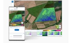
Biomass Comparison allows you to see how the variability of your field has changed from week to week, month to month, or even year to ...

