Show results for
Refine by
Field Crop Software In Canada
8 software items found
by:The Climate Corporation based inSan Francisco, CALIFORNIA (USA)
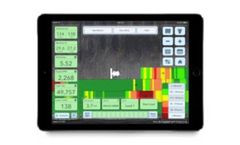
Climate FieldView™ does the listening so you can get the most out of every acre. Each farm is different. Every field is unique. Use FieldView™ year round to make data driven decisions to maximize your return on every acre. We’re your data partner to seamlessly collect, store, and visualize critical field data, monitor and measure the impact of ...
Distributed by:Southern Drip Irrigation Ltd based inChilliwack, BRITISH COLUMBIA (CANADA)
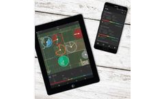
FieldNET® by Lindsay puts you in total control. Gain fast, easy access to your entire system. As your fully integrated wireless management tool, FieldNET lets you view and control your systems from virtually anywhere. It all adds up to less time in the feld, less spent on valuable resources and greater control of your ...
Manufactured by:Ag Growth International (AGI) based inWinnipeg, MANITOBA (CANADA)
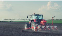
IntelliFarms’ Energy Program combines the science of soil with the industry’s only technology that gathers the right field data. This powerful duo allows growers to maximize growing potential by feeding the soil exactly what it needs, when it needs ...
by:Agrilyze based inAbbotsford, BRITISH COLUMBIA (CANADA)
Smart tools and modern technologies that can positively impact our economy and ...
by:SmartFoodSafe based inDorval, QUEBEC (CANADA)
Digitalise the crop production activities, achieve real time traceability and demonstrate compliance with good agricultural practices (GlobalGAP, CanadaGAP etc) ...
by:Pix4D SA based inPrilly, SWITZERLAND
You can also use Satellite Data Import to enhance your mapping experience with Sentinel-2 satellite data. Process: Process imagery with the instant processing engine and get your maps directly in the field: 6.8 GB, 2948 images, 10 min (with the new radiometry module). Scout: Generate precise orthomosaics, digital surface models, index maps, zones and accurate prescription maps. ...
by:Kheti Buddy based inPune, INDIA
Rethink remote sensing by sensitizing it for agricultural practices. Are you looking for a way to make better, more informed decisions on the farm? Introduce GIS to your precision farming process – a technology that can help you visualize data and analyze spatial information for improving and optimizing farming processes. With GIS, you can monitor the health of individual crops, estimate ...
by:AgriXP based inOttawa, ONTARIO (CANADA)
AgriXP is a free, zero-training, crop planning app designed by farmers and their crop consultants to track field data. AgriXP allows the farmer, employees and your crop consultants to securely record crop and field activities. Interact directly or remotely with employees or your agronomists. ...

