Show results for
Refine by
Forestry Data Software In Europe
7 software items found
by:Digital Forest Information Planning and Consulting based inBuehl, GERMANY
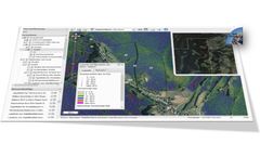
The 3D ForestGIS Application is a web based system with photogrammetrically processed 3D tree and tree models. You can use the System to precisely asess the wood volume, map the forest structure, include a variety of external geodata, query, print and share the maps with other Internet devices (PC, Laptop, Smartphone, Tablet). Test the system at ...
by:Katam Technologies AB based inMalmo, SWEDEN
Optimise instructions for thinning strength and route planning in advance with more precise data. With Katam, you are always prepared to adapt to local variations in the total ...
Manufactured by:Masser Oy based inRovaniemi, FINLAND
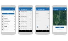
Mobile Caliper app for Android records the location of each measurement using the smartphone’s GPS unit with maximum available accuracy. Coordinates can be used on the mobile or later using Google Maps or company GIS system at the ...
by:GISCON Geoinformatik GmbH based inDortmund, GERMANY
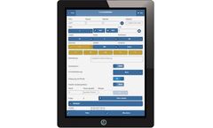
In many forest forest businesses, timber gathering processes are still done on paper and later copied by hand to the pc in the forestry office. This work takes a lot of time and contains a possibility of ...
by:Trestima Ltd based inTampere, FINLAND
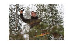
Forest is photographed with TRESTIMA mobile application. Sample photos are automatically transferred to TRESTIMA cloud for analysis. World's most accurate and efficient tool for measuring standing timber. Trunk widths and heights as well as tree species from each sample are measured in the cloud service. Machine vision is aided by a human operator when necessary. This ensures reliable results ...
by:Katam Technologies AB based inMalmo, SWEDEN
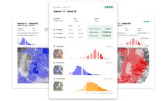
Capture video of the stand with a drone or smartphone and upload it to Katam for processing. You will get downloadable reports within minutes. Katam brings the power and speed of digitalisation to your forestry business. Analyse tree density, height and diameter in any part of your stands. Use a drone or smartphone app to collect image data. Katam will generate ...
by:Katam Technologies AB based inMalmo, SWEDEN
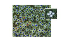
By capturing images with a drone, you can create an analysis of the entire stand while still working in the field. The KATAM TreeMap solution shows variations wthin a forest stand with distribution of tree density and height over all parts of the ...

