Show results for
Refine by
Crop Mapping Software Available In In Australia
14 software items found
by:AgroMonitoring based inLondon, UNITED KINGDOM
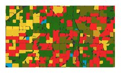
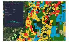
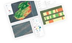
Based on large amount of processing satellite and climate data, we provide analytical reports and detailed datasets for crop monitoring: Crop map (soy, corn, wheat, etc.). Recognised field boundaries. Vegetation indices statistics by each recognised field. Climate data for regions and particular ...
by:Shivrai Technologies Pvt. Ltd. based inPune, INDIA
Farm profile module helps in mapping the crop and land infrastructure of your farms. It helps you to maintain details of farm land, number of sites, plots, packhouses, and cold storages, along with geo coordinates. Tree encoding can also be done in case of horticulture ...
by:AgroMonitoring based inLondon, UNITED KINGDOM
We can customise our analytical reports for your needs. Reports include overviews of the conditions of the observed crops, distribution on the map of the type of crops and their condition, vegetation statistics, etc. Data can be stratified and aggregated by any criterion, for instance, by crops, by regions, by ...
by:Oakland Corporation based inStory City, IOWA (USA)
The Oakland Agronomy Interface accommodates complex invoice billing and is flexible enough to connect to a variety of precision agriculture applications. Oakland Agronomy Interface can be customized to allow a variety of scenarios with different workflow strategies. Oakland Fertilizer Manager can create the blend sheet and push it to be prepared, or the blend sheet can be created by a 3rd party. ...
by:Map My Crop based inNew York, NEW YORK (USA)
Integrate Map My Crop API and start benefit from advanced geospatial analytics right away and save millions of dollars on in-house enterprise solution development. ...
Manufactured by:Grownetics based inBoulder, COLORADO (USA)
Growing high quality crops doesn’t have to be complicated but growing it at scale and continually improving quality and consistency can be. We built our production tools to help automate work and training into one highly automated platform. Implement SOPs and continuously share improvements with variety specific production recipes and workflows. ...
by:Decisive Farming based inIrricana, ALABAMA (USA)
My Farm Manager™ makes it easy to find and update important records: whether you’re in the office, in the field, or on vacation. View fields and crop plans on the map. Integrated market contracts and farm expenses. Dynamic profit margin tracking (based on crop type). Up to date equipment records and notes. Track agronomy and marketing ...
Manufactured by:A.U.G. Signals Ltd. based inToronto, ONTARIO (CANADA)
It is critical for the agricultural industries to accurately and timely identify different stages of crops and vegetations. This can help to investigate different situations such as fungal infections and take the right actions. Vegetation growth features can assist in determining famine severity, drought conditions, and impacts on yields; in a result, the authority is able to anticipate food ...
by:Solvi AB based inGothenburg, SWEDEN
Zonal Statistics offers tools for digitizing plot boundaries for all types of trials. Whether you use our Automatic Plot extraction or advanced editing tools, plots of any shapes and layouts can be re-created in a matter of ...
by:Atfarm based in, UNITED KINGDOM
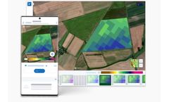
Biomass Comparison allows you to see how the variability of your field has changed from week to week, month to month, or even year to ...
by:SarVision B.V. based in, NETHERLANDS
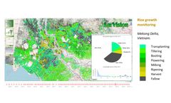
We map crop types, monitor crop growth and biomass, assess crop damage. Our products ...
by:FarmingIT based inMeredith, AUSTRALIA
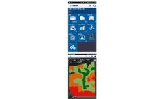
Trimble Ag Mobile drives productivity, profitability and sustainability for farmers and agribusinesses around the world. It’s a revolution in online and mobile-enabled farm data management that is transforming the way ag professionals work. Our app allows you to turn the supercomputer you carry around in your pocket into the most powerful farm management tool you have ever ...
by:Pix4D SA based inPrilly, SWITZERLAND
Remote sensing: Collect images using a drone and any standard RGB or select multispectral cameras. You can also use Satellite Data Import to enhance your mapping experience with Sentinel-2 satellite data. Process: Process imagery with the instant processing engine and get your maps directly in the field: 6.8 GB, 2948 images, 10 min (with the new radiometry ...
by:AgCode, Inc. based inGlenwood, MINNESOTA (USA)
People growers trust. Technology that works. These days, every move a grower makes is pivotal. Since 2003, AgCode’s comprehensive farm management software has empowered our customers to make their best business decisions with the data they need, when they need it. We tailor our solutions to each crop, giving growers a clear overhead view of operations while maximizing ...

